
Southport Synagogue, Princes Street, Southport PR8 1EG
Location

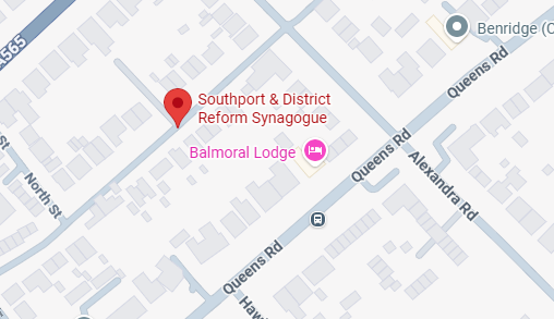
Google Maps
Directions
Google Maps
https://maps.app.goo.gl/v2z2zs6gCG6kSBTx8
From the M6 (via M58 / A570):
- Follow the M58 towards Southport.
- Continue onto the A570 into Southport town centre.
- Keep following signs for the Promenade and Town Centre.
- Turn onto Eastbank Street (just off Lord Street) then right onto Princes Street.
- The Synagogue is located at the end of Princes Street on the left.
From Preston / A59 Southbound:
- Take the A59 towards Southport.
- Join the A565 and continue into the town centre.
- Turn onto Lord Street, then left onto Eastbank Street and right onto Princes Street.
- The Synagogue will be on your left.
From Liverpool / A565 Northbound:
- Take the A565 to Southport.
- Follow signs for Town Centre / Lord Street.
- Turn into Eastbank Street then right onto Princes Street.
- The Synagogue will be at the end of the street on the left.
By Train
- The nearest station is Southport Station (approx. 5–8 minute walk).
- Walk towards Lord Street, then onto Eastbank Street and turn right into Princes Street.
Parking
- Street parking is available on Princes Street (check signage).
- Additional pay & display parking nearby on:
- Tulketh Street Car Park
- London Street / Chapel Street area